TAKE THE HIKE
Start at the southern end of the Boone Fork Overlook by the trail map sign to descend a wheelchair-accessible ramp behind the boat rental building. The first 0.7 miles of this trail are level and wheelchair accessible (a damaged bridge limits this access currently) to fishing spots on the lake and Boone Fork Creek.
The trail winds through rhododendron and away from the lakeshore to cross a bridge over Cold Prong. The trail crosses a boggy area on a long and level boardwalk at about 0.5 miles through a scenic high-elevation forest. The path crosses a bridge over the lake's main source, Boone Fork. The trail emerges on the lakeshore opposite the boat launch at an accessible lakeside fishing deck. This 1.0-mile or so out-and-back hike is one of the Parkway's best for the wheelchair-bound, the elderly, and beginning or very young cross-country skiers or hikers.
From here, around the lake to the Parkway, the trail is a woodsy and quiet walk around the longest arm of the lake. The trail turns right along the end of the lake and climbs a little through a rhododendron before descending back to the lakeshore. This prong of the lake constricts to a marshy area and the feeder stream of Laurel Creek.
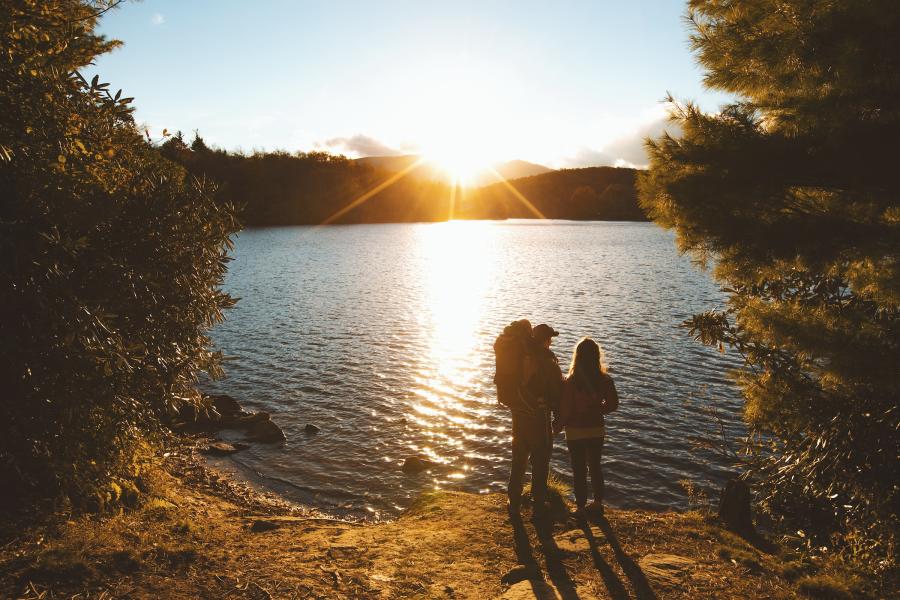
The trail turns left and crosses a small bridge at about 1 mile (where you might see evidence of beaver activity). The path bears left again bound for the Parkway and the dam that impounds the lake. The trail has benches now and then, but there's one tucked down by the lakeshore at 1.2 miles. The views of Grandfather Mountain are particularly good along this eastern side of the lake. A variety of rocks reach into the water, enticing boaters to land and fishers to cast.
The trail passes a large rock at 1.4 miles then undulates its way to steps down to the Parkway at 1.7 miles. Go left across the bridge over the dam through Price Lake Overlook, a popular fishing spot. Continue on a paved path on the roadside where a lakeside deck creates another wheelchair-accessible place to fish or catch a view.
Enter tall evergreens through the campground, bisecting Loop A on a paved path (past a restroom). At 2.2 miles, the trail crosses the last campground loop to a junction. Go left. To the right, a trail crosses the Parkway to other campground loops and the Tanawha Trail Parking Area. The Price Lake Trail goes left past the campground amphitheater to enter the northern end of the Boone Fork Overlook. Your car should be close, at 2.5 miles.
Help preserve these incredible trails by planning ahead, keeping on designated trails, respecting wildlife, packing out any trash, and being considerate of others out in nature.
Click through the images below to learn more about how to help preserve the awe-inspiring environment around Boone!


